Accessibility Menu
×
Keyboard Navigation
Block Animations
Colour Contrast
Uncoloured
Display
Bright
Contrast
Reverse
Contrast
text size
Increase
Text
Decrease
Text
Readable
Text
Highlighting Content
Underline
Links
Underline
Headers
Images
Titles
Zoom In
Big White
Cursor
Big Black
Cursor
Zoom
Screen
Accessibility Statement
Report an accessibility problem
Reset Settings
Where to go
Experiences
Plan your trip
Search
Where to go
Experiences
Plan your trip
Languages
Events
Microsites
DTPC
Newsletter
E Brochures
Travel Care
Photo Gallery
Video Gallery
Kerala Souvenirs
Specialties
Awards
Districts
FAQs
www.keralatourism.gov.in
Home
Page not found
Page not found
Sorry, this page is currently unavailable or its location has been changed. Please continue browsing from the
homepage
...
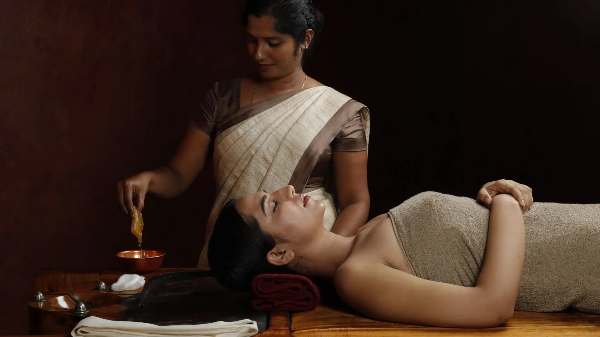
Ayurveda
Read More
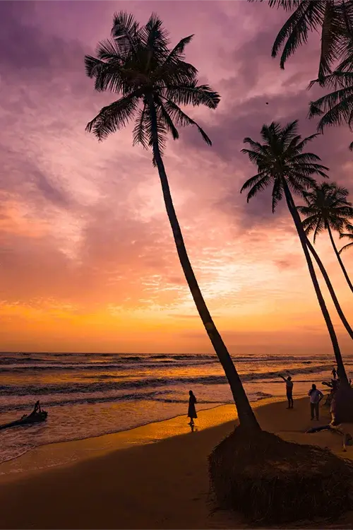
Photo Gallery
Read More
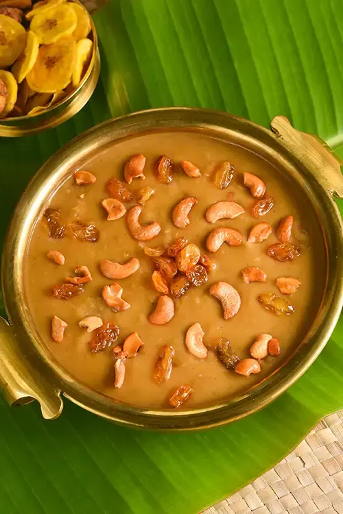
Cuisine
Read More
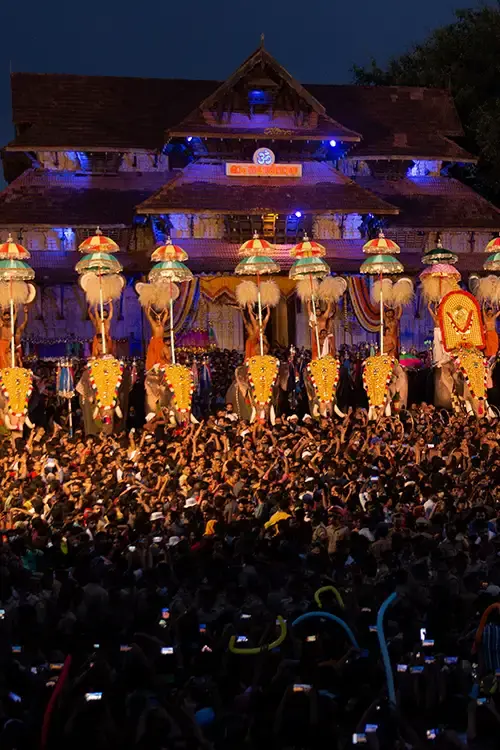
Events
Read More
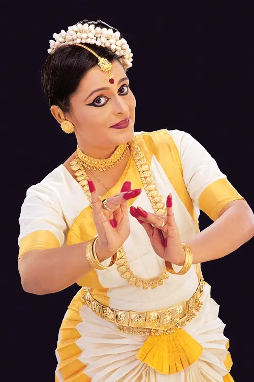
Artforms
Read More
E-brochure
Read More