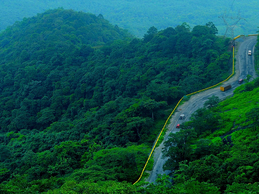

Located at a lofty altitude of 700 to 2100 metres from the sea level, the district has a varying topography which includes hilly areas, valleys as well as meadows. The climate also changes drastically depending on the geography and altitude.
The district lies between north latitude 110 27' and 150 58' and east longitude 750 47 ' and 700 27'. It sprawls over an area of 2132 sq km and has all the fascinating views that the Western Ghats offers. It also is an apt ground for paddy cultivation and the name of the district itself is derived from this characteristic. (Wayanad is derived from Vayal Nadu which means land of paddy fields.)
Nilgiris of Tamil Nadu and Mysore district of Karnataka lie on the east of the district while it is bounded on the north side by the picturesque Coorg district of Karnataka. Kozhikode and Kannur districts lie on the west and Malappuram on the south of Wayanad.
The lofty ridges in the area are often interspersed with dense forests and deep valleys. The hills are lower in height in the centre of the district, while on the northern side you can see wild, high mountainous regions. The highest peaks in the district are Vellarimala, Banasura, Brahmagiri and Chembra and they range from 1500 m to 2100 m height. The hills, might have been forest areas once, but with the advent of modern civilisation, the low hills have been converted to plantations of coffee, tea, pepper, cardamom and other spices.
The plateau of Wayanad slopes down eastwards and if you travel further from Mananthavady, it becomes a common plain of paddy fields. The soil of the region promotes abundant growth of vegetation. The district is clothed in greenery – be it the undulating hills or dales. While most of the stretches of dales are converted into paddy fields, the hills provide the right nurturing conditions for growing plantations like coffee, tea, cardamom and other spices.
Rivers  |