Topography
The park, situated in the Idukki district of Kerala, is spread over 97 square kilometers between 10º05'N - 10º20'N latitude and 77º0'E - 77º10'E longitude. The area falls under the Western Ghats, the mountain range along the western side of India which has been declared as one of the biodiversity hotspots in the world.
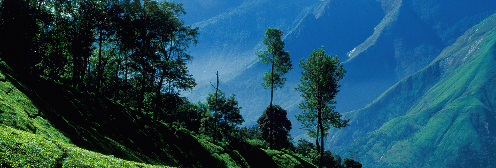
The main part of the park is a high rolling plateau with a base elevation of about 2000 m above mean sea level. The area comprises high altitude grasslands interspersed with sholas. Shola is a type of high-altitude stunted evergreen forest peculiar to South India. The park boasts of the largest contiguous and undisturbed Shola grassland ecosystem in the Western Ghats.
The knolls and hills in the park rise up to 100-300 m and there are mountains rising over 2500m. Anamudi, the highest peak in peninsular India (2,695 m), is situated in the park.
The park is criss-crossed by perennial streams which originate in the sholas. A deep valley called Turner’s valley splits the park almost in half from northwest to south east. The park is bordered by the Indira Gandhi Wildlife Sanctuary on the north and tea plantations of Munnar on the south.


 History